- Difficulty Easy
- Time 1 hour
- Round-Trip 3.2km
- Elevation Gain minimal
- Season year-round
- Camping No
- From Vancouver 1 hour
- Public Transit Yes
- Dog Friendly Yes
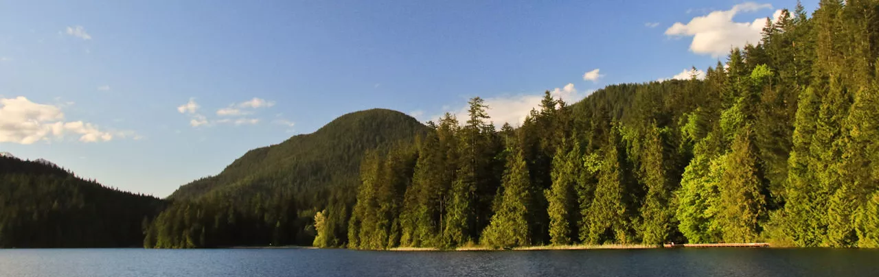
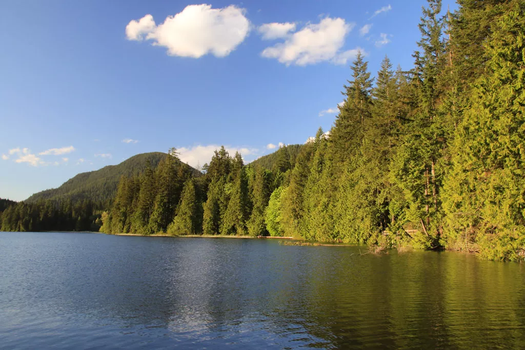
Hikers looking for an easy, year-round accessible hike or an outdoor area perfect for family picnics and a short walk will find the trails around Sasamat Lake in Belcarra Park a great escape from the city. Located near Port Moody, Sasamat Lake has several facilities including walking trails, a beach area, swimming in the lake, a concession stand, and much more.
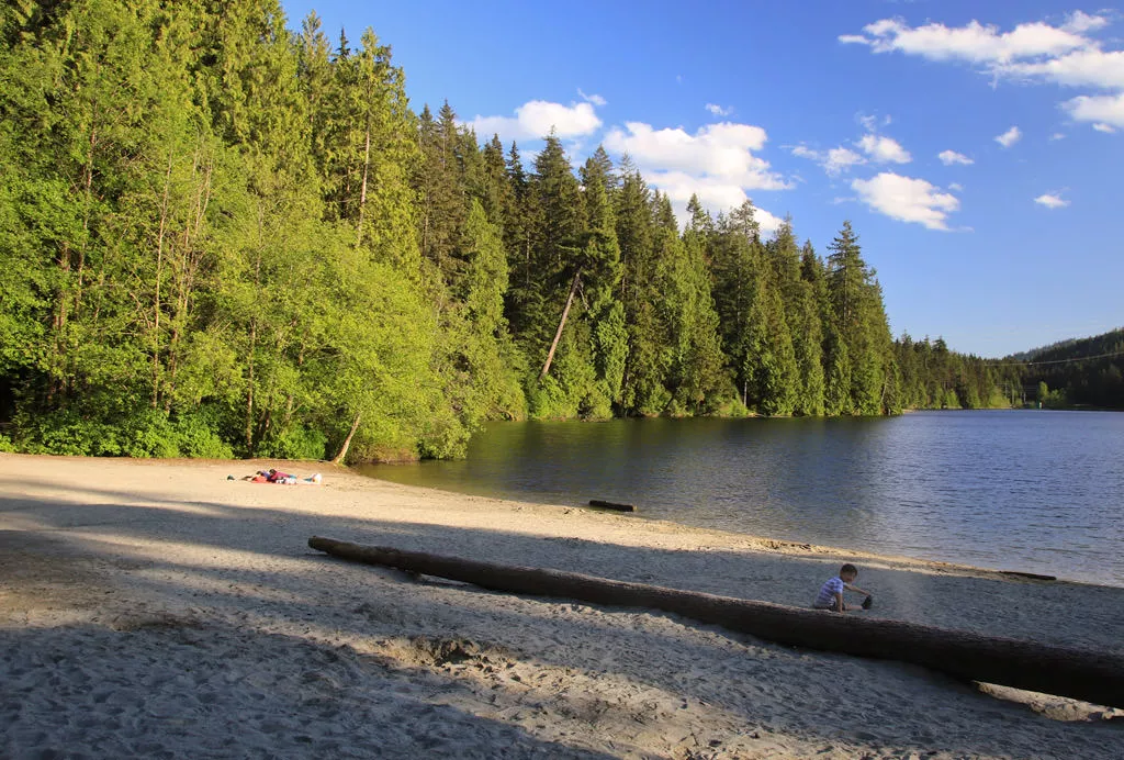
In the summer, Sasamat Lake can become very busy so it is advised to arrive early if you expect to find a parking spot near the lake. The trail wraps around the lake so you can choose what area you would like to begin your walk however, we will start from the White Pine Beach area by the concession stand. As you walk down the short hill towards the beach, the lake comes into full view giving a sense of the entire area and the distance around the lake. Go right towards the end of the beach area where the paved trail turns to gravel and heads into the forest. We will walk around the lake in a counterclockwise direction.
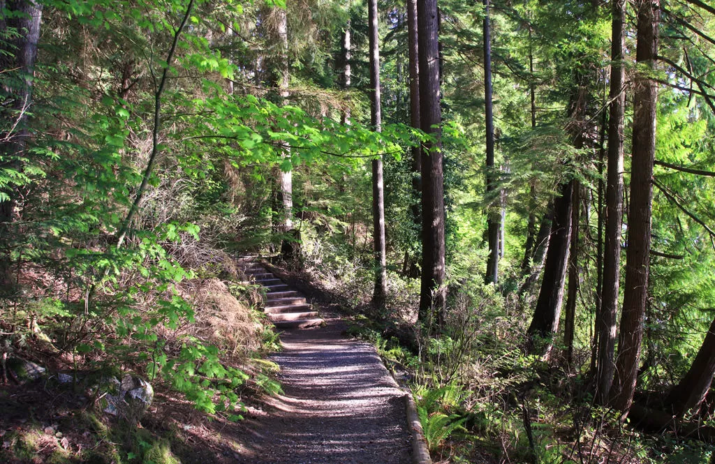
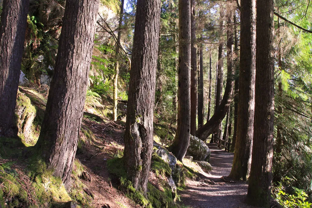
For the first section the well maintained trail hugs the shoreline offering occasional glimpses of the lake from different angles. As you continue, the trails goes up a set of wooden stairs and merges with the gravel road above. Follow this road to the left towards the Sasamat Outdoor Club, a facility that offers many outdoor programs for community groups and local schools within the Belcarra Park area.
Cross the driveway and walk down the steps as the trail continues toward Bedwell Bay Road. After crossing a bridge over a small stream, the trail reaches a junction. Walking right takes you to Woodhaven Swamp and going left will continue along the trail that circles the lake. Go right as the trail follows Bedwell Bay Road for a short distance before going up a set of wooden stairs to the road. Carefully cross the road to the sign on the other side and continue up the trail between the two residential houses.
As the trail climbs up the side of the hill, the sight of homes and noises of passing cars and the busy Sasamat Lake area begin to fade. The trail is well maintained and easy to follow through the second-generation of Douglas Fir and Western Cedar trees. After hiking for 2km, the trail arrives at another small road with the Woodhaven Swamp partially visible between the trees on the other side. Cross the road and continue along the trail to a sign on the left. Walk down the steps and follow the path as it loops around the swamp area. After enjoying the scenery, return to the road area and cross back to the trail that leads back down towards Sasamat Lake.
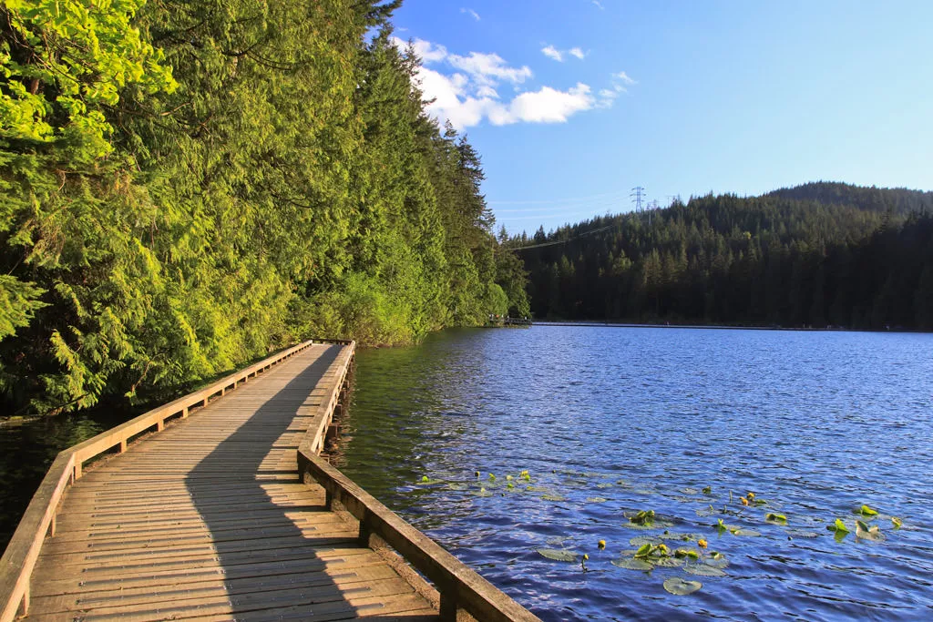
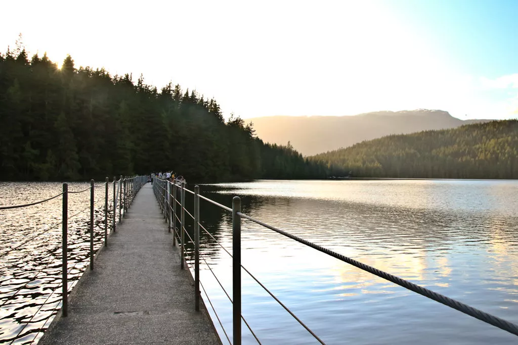
Once back at the junction near Bedwell Bay Road, continue along the trail that wraps around Sasamat Lake. The terrain is flat and there are several viewpoints to stop and enjoy the mountain peaks that overlook the Belcarra region in the background. Eventually, the trail arrives at a crossing on the south end of the lake which has a couple of platforms for swimmers. Walk across this crossing and take in the view of the lake.
Once on the other side of the lake, continue along the trail to the left back towards the White Pine Beach area. Only a short time later, the trail opens up at the beach area and you have completed your loop of Sasamat Lake. A hot, sunny day offers the perfect opportunity for a quick dip in the lake or a relaxing picnic on the sandy beach shore.
How to get to Sasamat Lake
Estimated Driving Time from Vancouver
1 hour
Sasamat Lake is located in the Belcarra area, northwest of the town of Port Moody, BC. From Vancouver, drive to Hastings Street and head east continuing through Burnaby towards the Barnett Highway. Merge onto the Barnett and continue to the traffic lights at the end of the highway in Port Moody. Go left onto St. John's Street and drive for about a kilometer to Ioco Road. Turn left onto Ioco Road and drive to the 3rd traffic light where Ioco Road continues to the left at the light (do not drive straight up the hill). Turn left onto Ioco Road and continue driving along the road as it winds its way through a series of houses built along the shoreline. After driving for about 4km from the traffic light, turn right onto 1st Avenue and drive a short distance before veering to the left as the road turns into Bedwell Bay Road. Watch for signs for Sasamat Lake and White Pine Beach on your right and turn onto White Pine Beach Road. Follow this road into the park and find a parking space close to White Pine Beach.
View a map of Driving directions to Sasamat Lake.
Transit Access to Sasamat Lake
Bus service is provided from Coquitlam Station to White Pine Beach from late April to early September. Bus #150 provides weekend and holiday service during this duration and additional buses run in the summer months, mid-June to the end of August, on weekdays. Check the Translink website for times and dates of operation.

Although we try to keep information as current as possible, www.vancouvertrails.com makes no warranty or representation as to the availability, quality, fitness for purpose, conditions or accuracy of the information provided with respect to this trail or trails. The information provided herein is further subject to our Terms of Use.
Comments
Add Comment View All Comments